WEDNESDAY
24
APR 2019
CTP Webinar: Mapping SFHAs Using 2D Modeling
Locations:
CTP Information Exchange Webinar
Time:
Wednesday, Apr 24, 2019, 1:00 PM - Wednesday, Apr 24, 2019, 2:30 PM
Details:
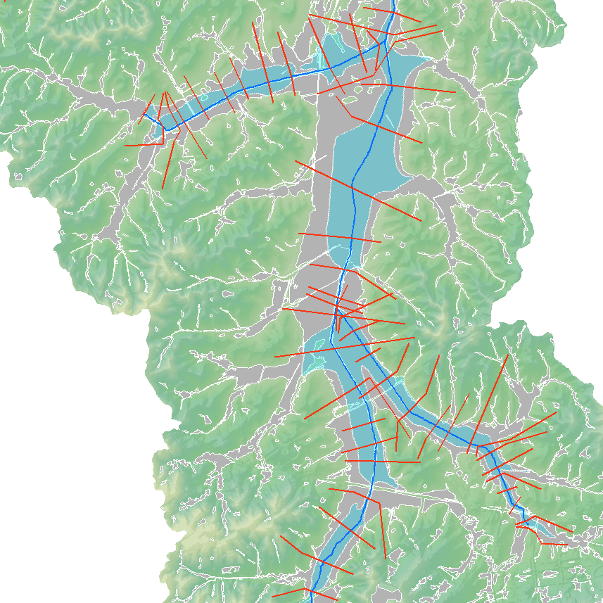 The Kentucky Department of Environmental Protection, Division of Water recently completed a pilot project using 2-dimensional engineering modeling to develop Special Flood Hazard Area maps for two watersheds in Kentucky. The selected watersheds represent the varying topography in the Commonwealth.
Presenters:
- Alan Lulloff, P.E., CFM - ASFPM Flood Science Center
- Carey Johnson, CFM - Kentucky DEP
- Davis Murphy, P.E., CFM - AECOM
- Ben Conley, GISP - AECOM
Agenda:
- Webinar Logistics - Jason Hochschild, ASFPM Flood Science Center
- Introduction - Alan Lulloff
- Description of pilot project - Carey Johnson
- Introduction to 2D modeling - Davis Murphy
- Pilot project 2D modeling approach and results - Davis Murphy
- Floodplain mapping with 2D model results from HEC-RAS - Ben Conley
- Questions/Discussion
 Download Calendar Event
 Back to Calendar