Elected officials: Mayor Brian Bagley and former Mayor Dennis Coombs
Location: Longmont, Colorado
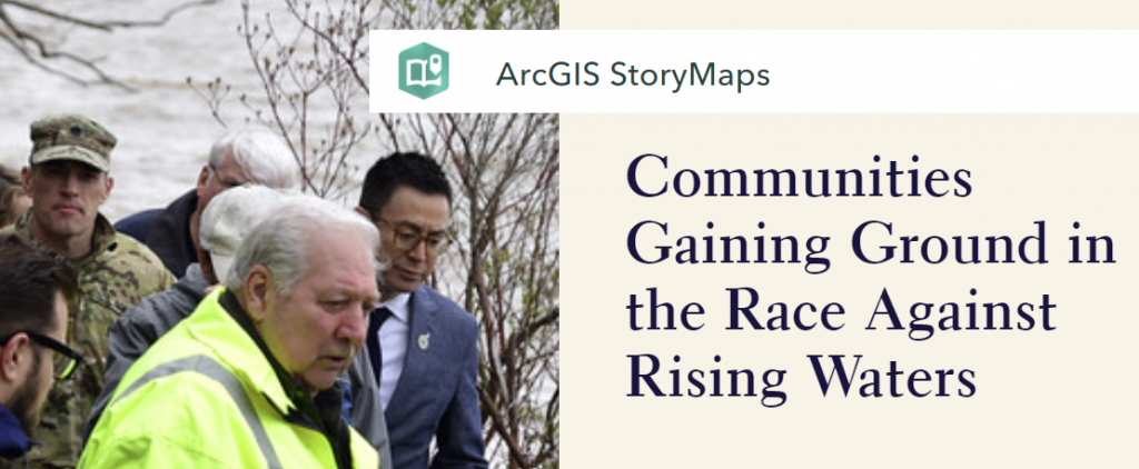
Story Map: Building on Success: Longmont, Colorado
Longmont, a community full of outdoor recreation opportunities for its 90,000 residents, is located 16 miles from Boulder and 30 miles from Rocky Mountain National Park. In September 2013, it experienced a week-long 1,000-year rain event that caused flooding of the St. Vrain River. The 2013 flood cut Longmont in half, leaving only one route crossing the St. Vrain Creek to serve the entire city for several days. This limited travel access and caused major challenges for emergency responders. Most of the developed areas of the city were underwater, destroying or severely damaging hundreds of homes and businesses, crippling the city’s infrastructure, and dislocating vulnerable populations.
According to Brian Bagley, the current mayor of Longmont since 2017, “Had Longmont not been able to literally in a matter of hours set up a command center and with the push of a button communicate to immediately tell everyone it is now time to do what we have trained for, there would have been loss of life.” Based on this experience, his advice to other elected officials in flood-prone areas is that “You’d better have the right people in place, and they’d better have an emergency plan.”
Mayors Bagley and Coombs offer advice to other elected officials
In the aftermath of the flood, rather than simply making repairs to restore infrastructure to its original state, the elected officials in Longmont began focusing on long-term resiliency with the Resilient St. Vrain project in 2014. Resilient St. Vrain is described as an “extensive, multi-year project to fully restore the St. Vrain Greenway and improve the St. Vrain Creek channel to protect people, property and infrastructure from future flood risk.” The project restores and reconstructs the creek channel so that it will have the capacity to convey water of 100-year flood flows, which reduces the reach of floodwaters. In places where this requires widening the creek, they are doing so in an environmentally-sensitive way, using natural design and bioengineering to enhance natural stream functions. These enhancements maintain and improve fish and wildlife habitat along the creek. For example, irrigation ditch diversions that once dammed the creek are being replaced with structures that allow fish passage, and the pedestrian trail will be relocated along one side of the creek to create a buffer zone for wildlife to safely nest and migrate. As an additional benefit, water quality will be improved by reducing stormwater flow impacts. In effect, this project will convert the very large existing Special Flood Hazard Area (that currently includes most of Longmont’s downtown area) into a wide, open channel through Longmont. "That storm is actually going to benefit Longmont in the long-term because we’re doing the right thing building the Resilient St. Vrain project," said Dennis Coombs, former mayor of Longmont (2011-2017).

As part of the effort to build back smarter under the Resilient St. Vrain project, the Main Street Bridge and South Pratt Parkway Bridge were replaced by longer, wider bridges that safely convey up to 100-year flood levels. This project is funded 75 cents on the dollar through federal sources, with the remaining funding coming from state and local sources. Local funding comes from voter-approved stormwater drainage bonds. According to Mayor Bagley, “The flood really gave the political will to do whatever we need to do.”
The Resilient St. Vrain project has a designated public information specialist who provides regular updates to the community on the project through a project website, e-newsletter subscription list, news releases and social media updates. Open houses and public meetings are also held as appropriate. Public messaging about flood risk and flood insurance is tied in with these updates as part of Longmont’s participation in the Community Rating System. “It just comes down to communication and trying to be as honest and straight-forward with citizens as you possibly can, but also don’t back down from being visionary” explained former Mayor Coombs. Longmont also added a Floodplain Inquiry Map to the city website where residents can search to see if their property is located within a floodplain. The map also shows which areas of Longmont were affected by the 2013 flood.
Mayors Bagley and Coombs talk about the Resilient St. Vrain project
Prior to the 2013 flood, a similar project was completed in 2012 – the Left Hand Creek Flood Project. This project improved the creek channel design to increase flow capacity, updated and resized two bridge culverts, and removed 110 structures from the Special Flood Hazard Area. “We actually built flood resistance on Left Hand Canyon. If we had not done that project, there would have been another thousand homes flooded,” said Coombs. According to a losses avoided study, “Reducing Losses through Higher Regulatory Standards: 2013 Colorado Floods Case Study,” this project saved Longmont an estimated $22 million in the 2013 flood. Based on this study, it is apparent that the anticipated cost of the Resilient St. Vrain project (between $120 million and $140 million) will more than pay for itself in the future.
As a next step, the city is considering implementing restrictions for outside storage of materials, fences and new structures in the floodway, and new basements adjacent to the Special Flood Hazard Area. They are also considering higher standards for substantial damage/improvement criteria such as considering cumulative improvements on a 5-year basis.
Mayor Bagley has a vision for how all of these preparation efforts will pay off for the community when the next major rain event hits, saying “It would be wonderful if we could just sit back and watch the flood from our lawn chairs, and it doesn’t touch anything that is valuable.”
Link to full interview video
Story Map: Building on Success: Longmont, Colorado
Take a story map guided tour through all the communities featured in Volume III's Success Stories. You can explore each communities’ timeline of flood events and responses, with an immersive narrative that includes photos, videos, and audio clips.
See more Success Stories from the Guide for Elected Officials ![]()